Skip to content
About Us
Projects
Our Services
Service Request
Contact
Our Services
Stormwater and Road Design
Subdivision Planning
Structural Design
Bulk Earthworks
Driveway Design
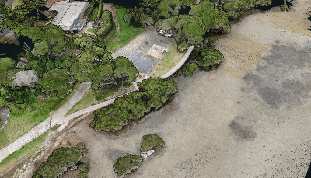
Drone Survey
Drone Survey
High-resolution aerial mapping and imaging
Creation of orthomosaics, terrain models, and point clouds
Data integration with CAD for design accuracy
Loading Comments...
Write a Comment...
Email (Required)
Name (Required)
Website
Subscribe
Subscribed
JSA Engineering Solutions
Sign me up
Already have a WordPress.com account?
Log in now.
JSA Engineering Solutions
Subscribe
Subscribed
Sign up
Log in
Copy shortlink
Report this content
View post in Reader
Manage subscriptions
Collapse this bar