
CIVIL & STRUCTURAL · BEGA VALLEY, NSW
Our Services
We offer a comprehensive range of civil and structural engineering services tailored to landowners, developers, and councils across the Sapphire Coast and beyond.

Stormwater & Road Design
We design integrated stormwater and road infrastructure that meets council and regulatory requirements across all scales, from single-lot drainage to large subdivision networks. Our team prepares DRAINS models, detention basin designs, erosion and sediment control plans, and full road design packages including intersection design for both urban and rural environments.
WHAT WE DELIVER
- Pit and pipe network design
- Horizontal & vertical road design
- Linemarking & signage schedules
- Intersection design
- Catchment analysis & DRAINS modelling
- Erosion & sediment control plans
- Inter-allotment drainage
- Detention and bioretention basin design

Structural Design
Our structural engineering services cover a wide range of residential and commercial projects. We produce council-certifiable documentation for new builds, extensions, and retaining structures — including footing design, slab specifications, steel frame design, and retaining wall engineering with full geotechnical coordination where required.
WHAT WE DELIVER
- Residential & commercial structural design
- Steel frame & connection design
- Geotechnical testing
- Footing & slab design
- Retaining wall design
- Wind load analysis

Hydrology Studies
We undertake hydrological and hydraulic studies to support development applications, flood risk assessments, and infrastructure design. Our capability includes 2D HEC-RAS hydraulic modelling for floodplain analysis, afflux assessment, and levee design. We work with councils, developers, and landowners to understand flood behaviour and design appropriate mitigation measures.
WHAT WE DELIVER
- Catchment hydrology RAFT modelling in DRAINS
- 2D HEC-RAS hydraulic modelling
- Culvert & bridge hydraulic design
- Flood impact assessment for DAs
Subdivision Planning
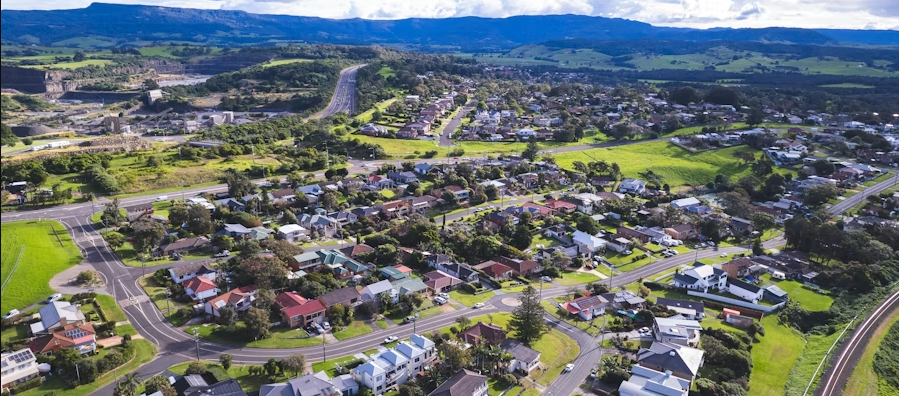
We guide landowners and developers through the full subdivision process, from initial feasibility and lot layout through to DA lodgement, construction certificate, and subdivision certificate. Our work includes infrastructure planning, utility coordination, and liaison with Bega Valley Shire Council and relevant servicing authorities.
WHAT WE DELIVER
- Concept lot layout & feasibility
- Regulatory compliance review
- Subdivision certificate support
- Development Application documentation
- Engineering plans for CC
- Utility authority coordination

Bulk Earthworks
We prepare bulk earthworks designs that balance cut and fill across development sites, and satisfy erosion control requirements. Our scope includes grading plans, cut/fill volume calculations, sediment basin design, and dam embankment design.
WHAT WE DELIVER
- Grading & contour plans
- Sediment basin design & sizing
- Dam spillway design
- Cut/fill volume calculations
- Embankment & compaction specification
- Erosion control specification

Drone Survey
Using DJI professional-grade equipment and photogrammetry software, we capture accurate aerial data integrated directly into CAD for design use. We deliver orthomosaic imagery, digital surface models, point clouds, and volume calculations; saving time and cost over traditional ground survey methods for large or complex sites.
WHAT WE DELIVER
- Orthomosaic imagery
- Point cloud data
- CAD-ready terrain models
- Digital Surface Model (DSM)
- Volume calculations
- CASA-compliant operations